A catalog of images from Kangchenjunga Conservation Area at the turn of the 21st Century
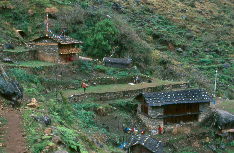
Amjilassa Campsite (19 May 2001)
At the turn of the 21st Century, Kangchenjunga Conservation Area (KCA) was being developed in the easternmost part of Nepal. This catalog of images provides a visual record of the infrastructure and environmental condition along trekking routes in the Kangchenjunga area at this time. We focused on facilities built to accommodate trekking tourism (designated campsites, lodges, tea shops, and bridges) because “sustainable ecotourism” was viewed as an important component of the KCA conservation and development strategy. This document was compiled in order to gauge how tourism development would affect the area.
We also marked permanent forest plots in four locations: Dhupi Bhanjyang above Yamphudin, Tseram in the Simbuwa Khola, Yamtori Khola, and Ghunsa Village. Within forest plots, we measured and identified each tree to species and took photographs (which are included here).
Nearly all the 150+ images in this collection include location data, determined by GPS to within 0.001 minutes of latitude and longitude and 10 meters elevation. In practice, our (uncalibrated) GPS data is usually reliable to about 0.05 minutes (about 100 meters) or better. We also provide supplementary information gathered by students and staff through personal observation or interviews with local residents.
When we made this collection in 2001-2, we intended that it would provide a baseline by which to measure the effectiveness of conservation and development programs. We hope this catalog will be useful to those who are interested in how the Kangchenjunga Conservation Area has ‘developed’ overz the past couple of decades.